UNESCO's Recognition > Science > UNESCO Global Geopark > Sarawak Delta UNESCO Global Geopark
Sarawak Delta UNESCO Global Geopark, Sarawak (2026)
The geological heart of the Land of the Hornbills
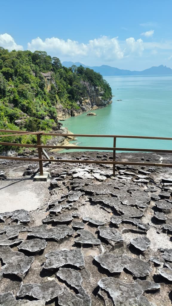
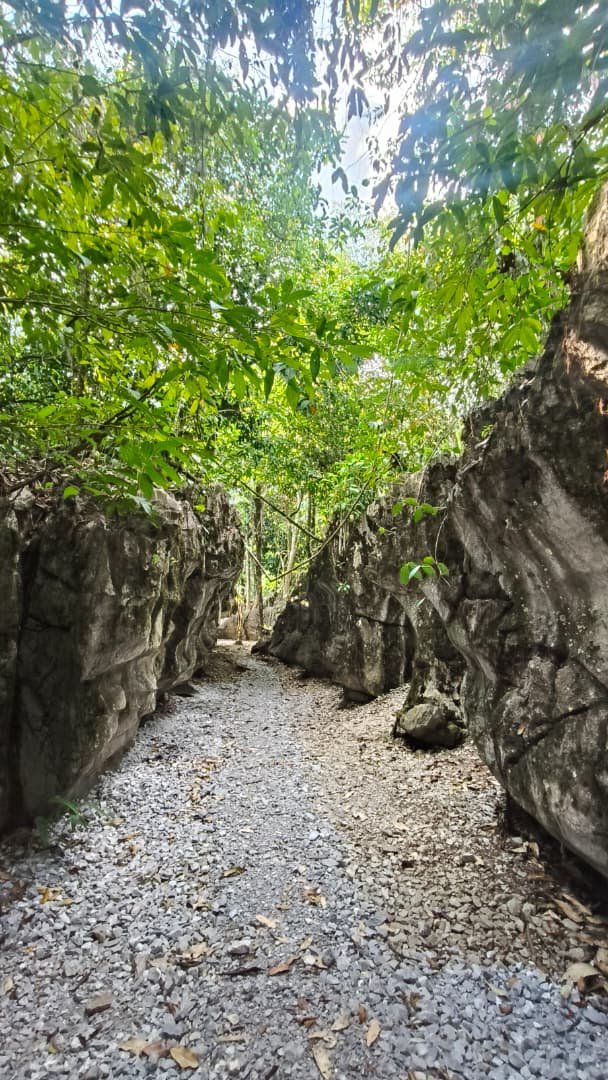
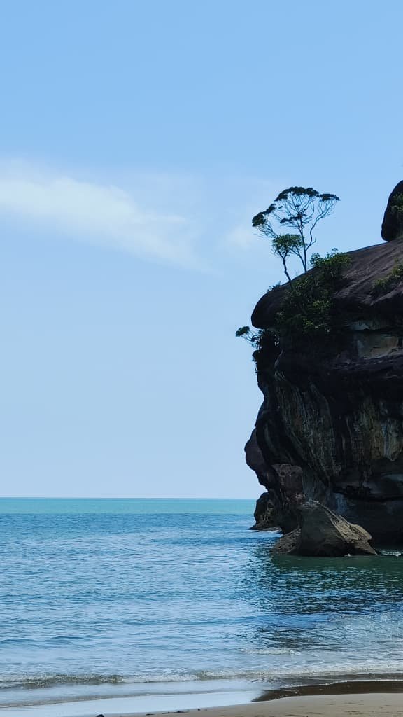
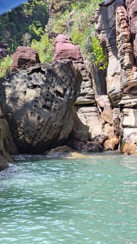
The Sarawak Delta UNESCO Global Geopark represents a geologically significant region that provides important evidence for understanding the formation and tectonic evolution of Borneo. Located in western Sarawak, the geopark is situated along the Kuching Zone suture, an ancient geological boundary formed more than 200 million years ago through the collision of prehistoric landmasses associated with the fragmentation of Gondwana. This tectonic zone preserves over 250 million years of geological history and encompasses 42 identified geosites of scientific importance. Among the most notable are Mélange Tanjung Adam and Mélange Bukit Andau, which contain remnants of the ancient Paleo-Pacific oceanic crust and offer valuable insights into regional and global geological processes.
In addition to its geological significance, the geopark demonstrates a strong interrelationship between geoheritage, biodiversity, and cultural heritage. The region comprises extensive river deltas, mangrove ecosystems, peat swamps, caves, mountainous landscapes, and coastal environments that collectively support high levels of tropical biodiversity. These natural environments have also shaped the traditional livelihoods, knowledge systems, and cultural practices of local communities, including the Iban, Bidayuh, and Malay populations. The geopark further benefits from the presence of Kuching, recognised as a UNESCO Creative Cities Network Creative City of Gastronomy, where traditional food culture, local craftsmanship, and performing arts continue to contribute to sustainable cultural tourism and conservation initiatives.